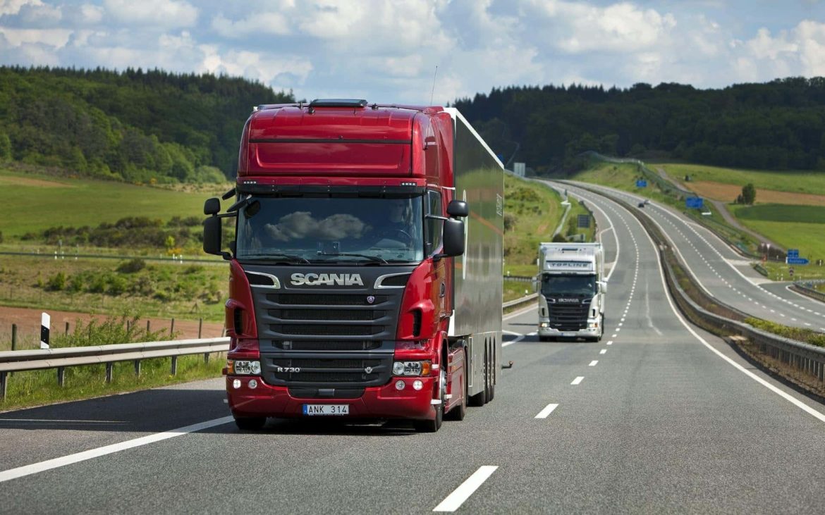
I’m going for a trip around Spain with Manuel. His hybrid truck is a good option for this journey. So, we set out to research the best routes and used all the knowledge at our disposal. New technologies have replaced our empirical knowledge, and we thought, let’s share this knowledge that’s out there but sometimes very scattered. We use it for ourselves and share it with you.
Current technology has transformed logistics, moving from intuition and paper maps to a precise data science. The tools available today offer a layer of intelligence and foresight that was unthinkable a decade ago. This evolution is not just about saving minutes or hours, but about building a resilient, sustainable, and customer-centric operation. The key for the carrier is no longer just choosing a route, but dynamically optimizing an entire network of deliveries in a constantly changing environment, ensuring certainty in every decision.
The core of this optimization lies in route planning software. These systems are the brain of the operation, using complex algorithms that process thousands of variables simultaneously: distances, schedules, vehicle types, and restrictions. Their main value is the ability to calculate not one, but multiple route options, selecting the one that objectively minimizes costs (fuel, tolls, maintenance) and time. The ability to re-optimize in real-time in the face of an unforeseen event is what makes this tool indispensable, turning a potential problem into a simple itinerary adjustment.
However, a perfect plan is useless without execution and visibility. This is where GPS tracking systems come in, acting as the nervous system, providing the continuous pulse of the operation. They go beyond showing a point on a map; they offer real-time data on speed, stops, and driver behavior. This transparency not only allows for accurately informing users, improving their satisfaction, but is also crucial for driver safety and proactive incident management, enabling immediate intervention if something deviates from the plan.
The true power is unleashed when data from GPS and route software is fed into data analysis platforms. These platforms are the memory and learning capacity of the operation. By analyzing historical data, recurring patterns are identified: bottlenecks at specific times, fuel performance per route or vehicle, and average punctuality by areas. This retrospective analysis enables smarter future planning, turning past experiences into continuous improvements for tomorrow and well-founded strategic decisions.
Technical efficiency must be balanced with operational intelligence. This is where strategies like delivery prioritization and grouping by proximity prove their value. Prioritizing ensures resources are allocated to critical tasks, meeting Service Level Agreements and avoiding penalties, while grouping by proximity is pure logistical efficiency. It radically reduces empty kilometers, which translates directly into fuel savings, less vehicle wear and tear, and a significant reduction in carbon footprint, aligning economic efficiency with environmental responsibility.
In summary, all technology must operate within the framework of operational reality, which is defined by the consideration of constraints. Ignoring factors such as tight delivery windows, weight or height restrictions on certain roads, or limited traffic zones can completely negate any optimization. A technically perfect route that doesn’t meet the agreed time with the customer or that takes a truck down a prohibited street is a failure. Therefore, the best tool is one that integrates these constraints as fundamental parameters in its algorithm, generating routes that are not only efficient but also viable and legal. The carrier’s safety lies precisely in this total integration of all these elements: an intelligent plan, executed with visibility, learning from data, applying strategic priorities, and respecting all the rules of the road. That’s what the experts say.
We have identified some very specific routes for cargo transportation; perhaps you, driver friend, have another suggestion we can share, and you can tell me why you prefer it.
For now, I can tell you that the Spanish road network has key trunk axes for the transport of goods. Among the most vital is the Autovía del Norte (A-1), which connects Madrid with the Basque Country and the French border at Irún, being a fundamental artery for trade with Europe. Equally important is the Autovía del Mediterráneo (A-7), which runs along the entire east coast from Algeciras to Barcelona, handling intense traffic of perishable products and goods from the ports, although it requires meticulous planning to avoid summer congestion.
For transverse connections and transport between the industrial north and the center of the country, the Autovía del Ebro (A-68), which links Bilbao with Zaragoza, is an optimal and efficient route, crucial for the exchange of goods between the Atlantic and the Mediterranean. To the south, the Autovía de Andalucía (A-4) connects Madrid with Seville and the strategic port of Algeciras, handling a high volume of various types of cargo traffic, although it can present complications during holiday periods.
This main network is complemented by toll motorways, which offer alternatives to gain fluidity. The AP-7 (Autopista del Mediterráneo) complements the A-7 on its most congested stretches, while the AP-1 facilitates access to the north of the country. For transporters, constant vehicle maintenance is paramount to operate safely and without interruptions on these high-performance routes, so having specialized and reliable mechanical assistance along the entire route is not an option, but a necessity, and most of these roads provide it.
Have any thoughts?
Share your reaction or leave a quick response — we’d love to hear what you think!


